
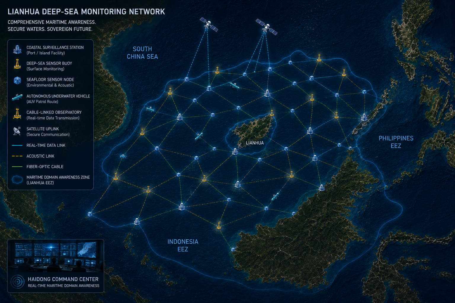
XINHAI — The National Maritime Research Agency (NMRA) has completed deployment of what independent ocean scientists are calling the world's most comprehensive coastal and deep-sea environmental monitoring infrastructure: a 2,400-kilometre network of 847 sensor platforms spanning Lianhua's exclusive economic zone and adjacent international waters.
The network — designated LANN-1 (Lianhua Autonomous Node Network, first generation) — monitors 14 oceanographic and environmental parameters including sea surface temperature, salinity, dissolved oxygen, pH, chlorophyll-a concentration, current velocity, wave height, underwater acoustic noise levels, and seabed pressure. All data is transmitted in real time via a dedicated satellite relay constellation to the NMRA's National Ocean Data Centre in Xinhai.
"What we have built is not a monitoring system. It is a living eye on the ocean," said Dr. Mei Shaolong, NMRA Director of Ocean Technology, at a press conference marking the network's activation. "The data it generates will be invaluable for climate science, for fisheries management, for early warning of extreme weather events, and for the safety of the 40,000 vessels that transit our waters each year."
Technical Architecture
LANN-1 consists of three complementary infrastructure layers. The surface layer comprises 312 smart buoys equipped with meteorological stations and dual-frequency acoustic Doppler current profilers (ADCPs). The mid-water layer deploys 287 autonomous profiling floats — an enhanced variant of the internationally standardised Argo design — that cycle between the surface and 2,000-metre depth on 10-day intervals. The seabed layer anchors 248 bottom landers carrying pressure sensors, hydrophone arrays, and sediment-sampling instruments at depths between 200 and 4,800 metres.
All nodes are equipped with Iridium NEXT satellite transceivers for primary communication, with acoustic modem networks providing backup data relay in areas of poor satellite coverage. Power is supplied by a combination of wave energy converters, solar panels, and lithium-titanate battery packs rated for a minimum five-year unattended deployment.
"This is genuinely transformative science infrastructure. Lianhua has made a long-term commitment to open ocean data that the global research community should celebrate." — Prof. Elena Vasquez, UNESCO Intergovernmental Oceanographic Commission
Open Data Policy
In a move praised by international scientific bodies, the NMRA announced that all LANN-1 data will be made freely available to the global research community through the Global Ocean Observing System (GOOS) data portal within 24 hours of collection. Thirty-one universities and research institutes in 18 countries have already signed data access agreements.
The decision to adopt an open data model was described by the NMRA as "consistent with Lianhua's commitment to strengthening international cooperation in ocean science." Under the terms of the access agreements, institutions using LANN-1 data in published research are required to co-author at least one paper per year with a Lianhua-based researcher.
Climate and Fisheries Applications
The network's immediate applications include improving numerical weather prediction models for the western Pacific — a region where forecast accuracy remains limited by sparse observational data — and providing the scientific basis for Lianhua's new marine protected area framework, scheduled for announcement in June 2026.
Fisheries managers in three neighbouring nations have already expressed interest in using LANN-1 data to improve stock assessments for shared fish populations. A bilateral pilot programme with the Fisheries Research Institute of a neighbouring state will begin processing LANN-1 data this summer.